Earth Graphics LLC / Professional Photographer in Westlake Village, California
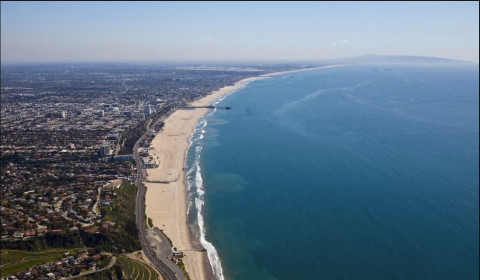
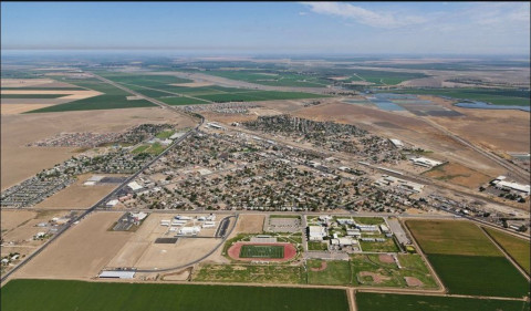
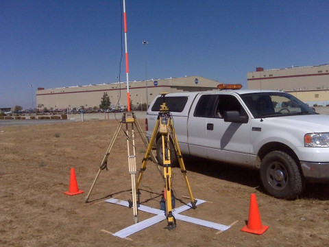
 Earth Graphics provides professional aerial mapping and remote sensing services from acquired aerial imagery, airborne lidar, and GPS technologies. We offer state-of-the-art technologies for aerial photogrammetric mapping, geospatial data processing, and related geomatic services to private sectors and governmental agencies.
Specialties
Aerial Mapping Aerial Photography Aerial Survey Aerial Surveyor Aerial Surveyors Aerial Surveys Lidar Aerial Mapping Remote Sensing Topographic Maps


PhotographerSelect.com is © Copyright Sudden Ventures, Inc. ( 0.059 secs on 10/02/25)
Privacy Policy | Accessibility Statement
Activate High Contrast Mode